Onze boeken
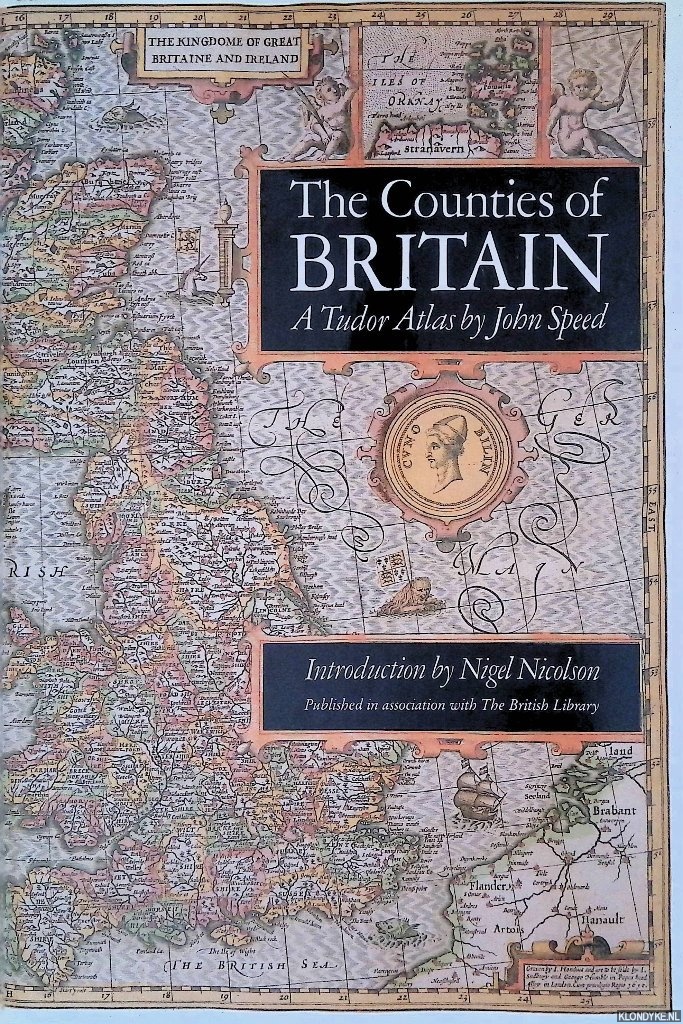
Counties of Britain: A Tudor Atlas
Door John Speed e.a.
Categorie | Geschiedenis Europa |
|---|---|
Boeknummer | #350972-KN37 |
Titel | Counties of Britain: A Tudor Atlas |
Auteur | Speed, John & Nigel Nicolson (introduction) |
Boektype | Gebonden hardcover met stofomslag |
Uitgeverij | London : Michael Jopseh/Pavilion |
Jaar van uitgave | 1988 |
ISBN10 | 1851451315 |
ISBN13 | 9781851451319 |
Taal | Engels |
Beschrijving | Original black boards, gilt lettered spine, dust jacket, illustrated with numerous (double page) colour maps, 4to. |
Samenvatting | This is a new edition of an atlas published in Britain in 1611 under the title "The Theatre of Great Britaine". The cartographer John Speed had been preparing the individual maps since 1596 and they were issued individually before being collected to form "The Theatre" which was intended as the topographical section of Speed's "The History of Great Britaine". When this was completed, it became the earliest published atlas of the British Isles. It was the first to show all the counties of Britain as well as towns, villages and boundaries as they were at the end of the reign of Elizabeth I and contains the first known maps of many English towns and is embellished with a wealth of heraldic decoration, illustrations of battles, antiquities and royal portraits. In h... (Lees verder)is introduction, Nigel Nicolson presents a biography of Speed, outlines the craft of Tudor map-making and puts Speed's atlas into context. Alasdair Hawkyard, Archivist at Harrow School, provides captions to the individual maps, describing topographical and other aspects and enabling the reader to identify how the landscape of Britain has undergone dramatic changes during the past four centuries. |
Pagina's | 288 |
Conditie | Goed |
Prijs | € 10,00 |
Onze gebruikte boeken verkeren in goede tweedehands staat, tenzij hierboven anders beschreven. Kleine onvolkomenheden zijn niet altijd vermeld.

