
Onze boeken
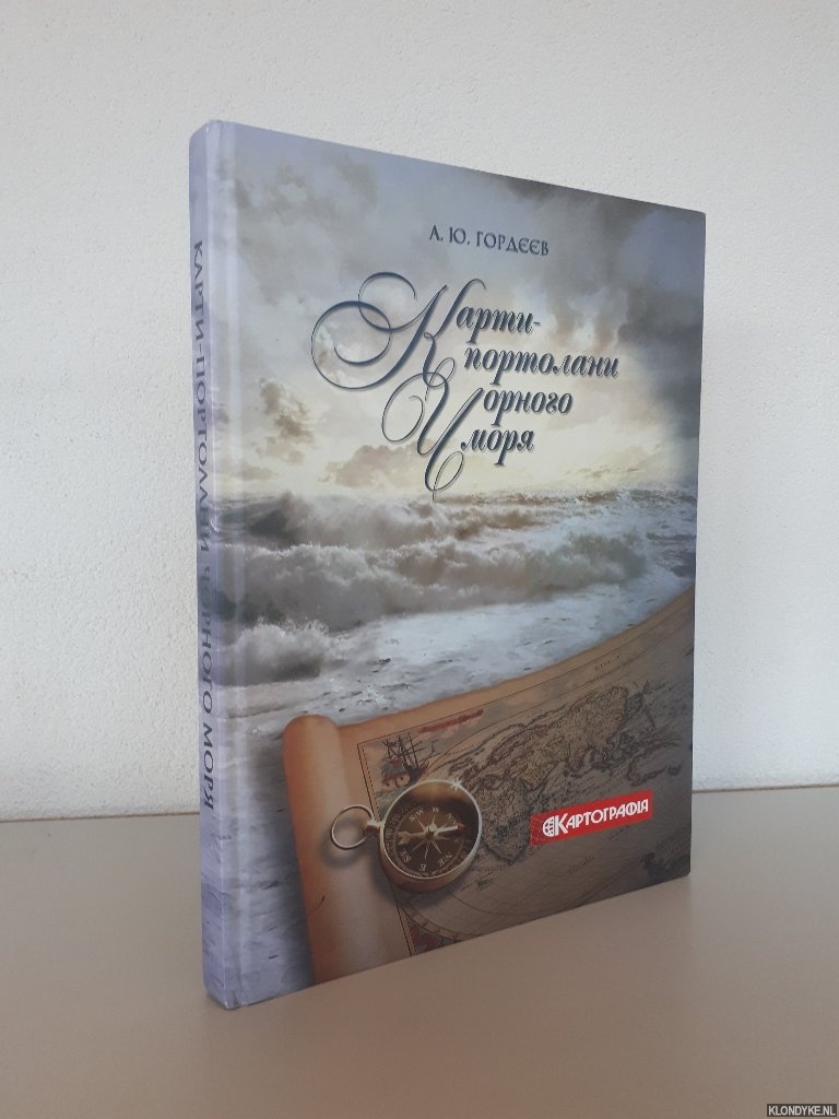
Portolanos Charts of the Black Sea from the 14th-17th Century (Ukrainian edition)
Door A. Yu. Gordieiev
Categorie | Geschiedenis Azië |
|---|---|
Boeknummer | #344544-MC3 |
Titel | Portolanos Charts of the Black Sea from the 14th-17th Century (Ukrainian edition) |
Auteur | Gordieiev, A. Yu. |
Boektype | Gebonden hardcover |
Uitgeverij | Kyiv : State Scientific and Production Enterprise "Kartographia" |
Jaar van uitgave | 2015 |
ISBN10 | 6176705339 |
ISBN13 | 9786176705338 |
Taal | Overig |
Beschrijving | Original pictorial boards, numerous (full page) colour and b/w illustrations, foreword in English, other texts in Ukranian, 4to. Karty-Portolany Chornoho moria XIV-XVII stolittia. |
Samenvatting | Portolanos Charts of the Black Sea from the 14th-17th Century This new edition presents a collection of reproductions of old nautical maps of the Black and Azov seas in the XIV-XVII centuries that are preserved in German, Dutch, British, Italian, American, Canadian, Australian, and Japanese libraries and archives. Portolans, aka portulans, are medieval manuscript maps that were usually made on parchment. The main characteristic of such maps is the detailed projection of rhumb line networks, more commonly known as windrose lines. The Atlas Black Sea Portolans is the first attempt in Ukraine to bring together all available knowledge about the country's old maritime maps. All portolan charts are presented in chronological order and are accompanied by commentaries regarding their significance,... (Lees verder) as well as short notes about their authors and the history of their making. Overall, the atlas contains 175 map reproductions. |
Pagina's | 215 |
Conditie | Goed |
Prijs | € 20,00 |
Zie ook


Onze gebruikte boeken verkeren in goede tweedehands staat, tenzij hierboven anders beschreven. Kleine onvolkomenheden zijn niet altijd vermeld.