
Onze boeken
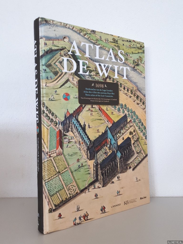
Atlas de Wit 1698: Stedenatlas van de Lage Landen = Atlas des villes des anciens Pays Bas = City Atlas of the Low Countries
Door Marieke van Delft e.a.
Categorie | Geschiedenis Nederland |
|---|---|
Boeknummer | #344389-MA4 |
Titel | Atlas de Wit 1698: Stedenatlas van de Lage Landen = Atlas des villes des anciens Pays Bas = City Atlas of the Low Countries |
Auteur | Delft, Marieke van & Peter van der Krogt |
Boektype | Gebonden hardcover |
Uitgeverij | Tielt : Lannoo |
Jaar van uitgave | 2012 |
ISBN10 | 9401401896 |
ISBN13 | 9789401401890 |
Taal | Nederlands, Engels, Frans |
Beschrijving | Original pictorial boards, richly illustrated in colour, folio (circa 54x36cm). |
Samenvatting | Atlas De Wit is a unique, historical atlas of cartographer Frederick de Wit with 158 city maps, city views and engravings from the Northern and Southern Netherlands (today's Netherlands, Belgium and French Flanders). This facsimile contains full-size images of the beautiful, original hand-coloured cards, which are drawn in perspective. The maps provide a visual perspective on the history of the 17th century, from Groningen to Cambrai. This title is completed with introductory and detailed descriptions that make this historical atlas map accessible to all lovers of history and old maps. Text in English, French & Dutch. |
Pagina's | 319 |
Conditie | Goed — No slipcase; bottom spine slightly bumped. |
Prijs | € 80,00 |
Zie ook


 door Redactie")
Onze gebruikte boeken verkeren in goede tweedehands staat, tenzij hierboven anders beschreven. Kleine onvolkomenheden zijn niet altijd vermeld.